Evidence of Rising Sea Levels in Long Beach, California
(See updates at end of article)
The following email and photos are from Robert Wiegand:
Michael,
This is what I mean by going crazy when people don't listen. I have hard evidence from city planners, actually have plans from them, showing this year start date of raising sea walls in Long Beach 6".
Here is Newport Beach Sea Level Rise Presentation
http://newportbeachca.gov/index.aspx?page=2375
The documents attached are Long Beach. Notice in Power Point Presentation NO MENTION OF SEA LEVEL RISE but of Earthquake could damage sea wall. Sea Wall being raised 6 inches - see pg 14.
THIS IS CITY NEWPORT BEACH
http://newportbeachca.gov/index.aspx?page=2375 is the city site talking on sea wall issues. Link to sea level rise study in document
Here is sea level rise document on page 3.10
https://www.newportbeachca.gov/Modules/ShowDocument.aspx?documentid=16107
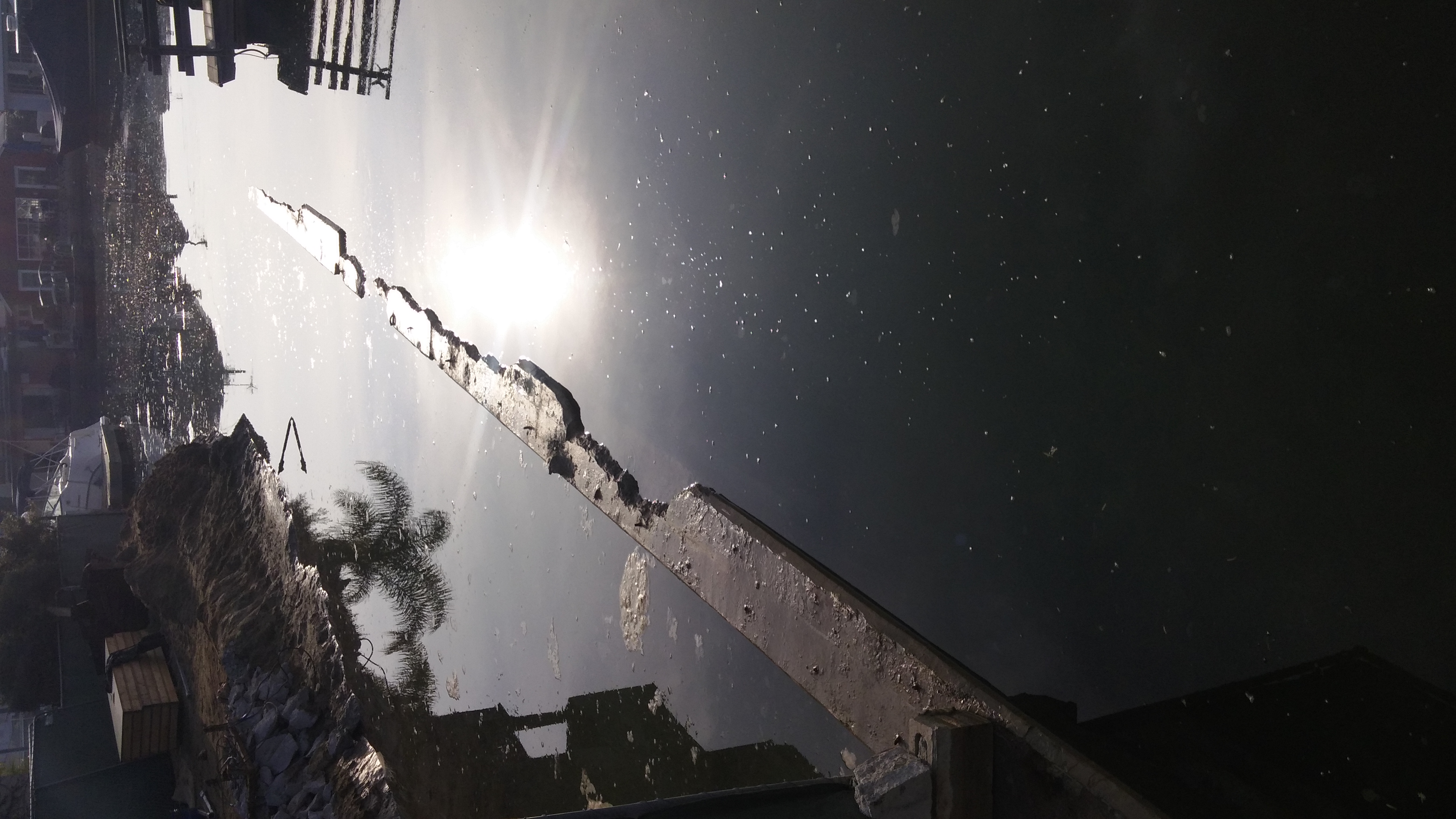
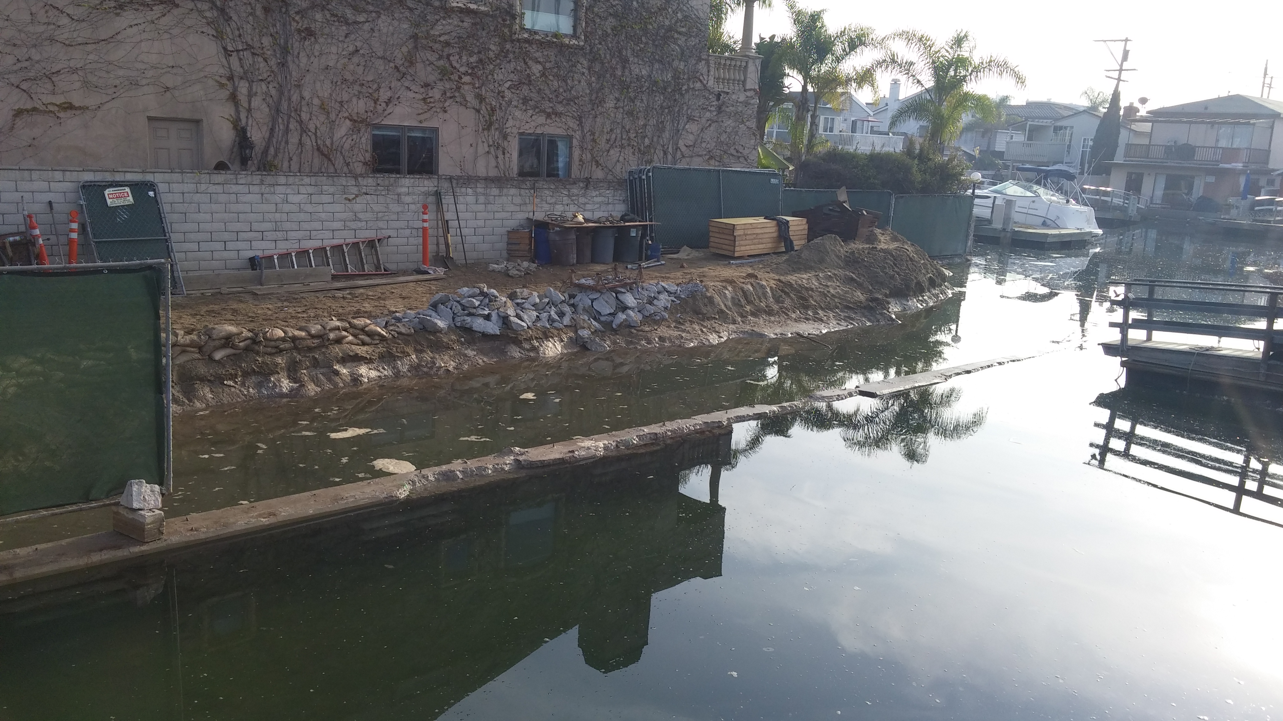
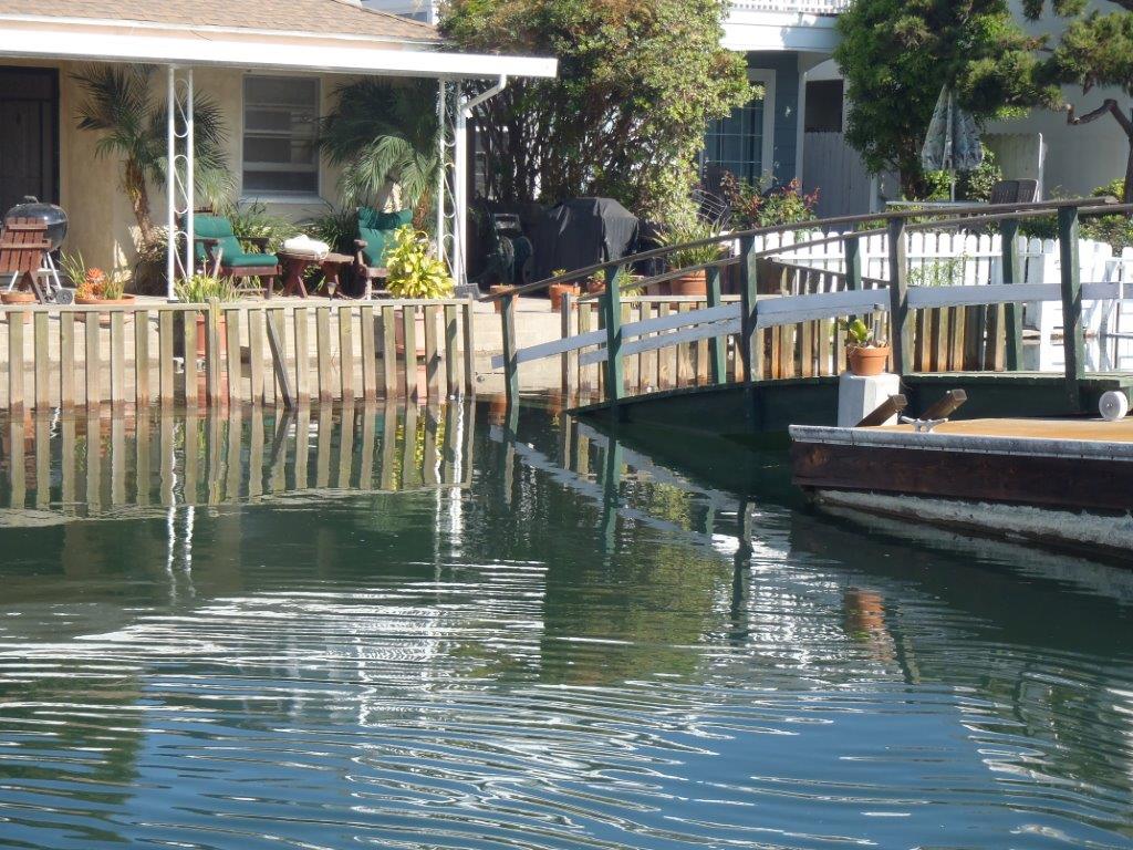
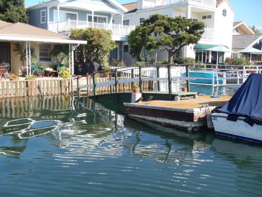
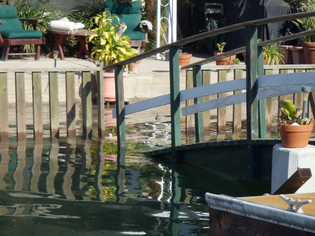
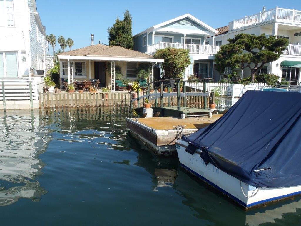
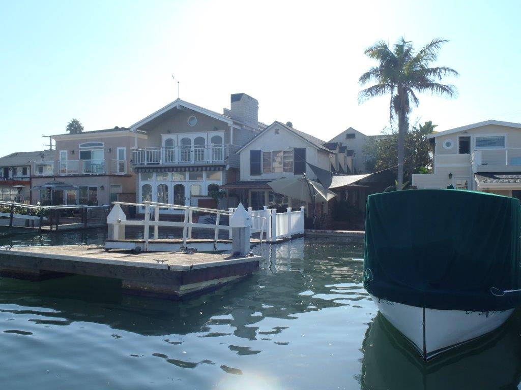
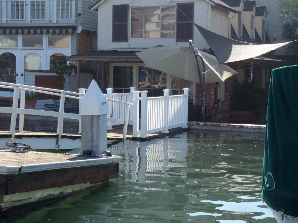
These photos BELOW are homes in the canals in Newport Beach Harbor taken 10/8/2014 at 948 am. When these homes were built in the 60's they were not designed for current sea level. It would not be possible to get a permit to build an underwater sea wall for your home, even back then.
These homes are flooding but no water has entered them as yet, just their yards flood. The homes are about 4-10 inches higher than the water. This was NOT HIGH TIDE. This is a receding tide. The high water mark was probably 1" roughly higher than these pictures that were taken at 0948 am 10/8/2014.
This also not NOT A KING TIDE. King Tide is over 6 1/2 and even 7 feet above Mean Low Low Water Mark for Newport Harbor
- Mean Low Low Water is the lowest tidal measurement.
These pictures are 6' above Mean Low Low Water Mark. At the highest point of the tide it was
2014-10-08 9:23 AM PDT 6.17 feet High Tide
http://tides.mobilegeographics.com/locations/342.html?y=2014&m=10&d=8
This is a KING TIDE
2012-12-13 8:09 AM PST 6.97 feet High Tide
http://tides.mobilegeographics.com/locations/342.html?y=2012&m=12&d=13
Article on King Tide = 7.02 feet above Mean Low Low Water Mark at 814am not sure what day but it gives evidence the height of a king tide.
http://www.ocregister.com/articles/tides-380336-high-rain.html
Two recent photos from January 2015 of waters in Long beach, Ca, that have risen over retaining walls.